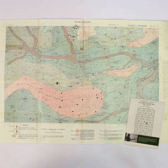
Trench Map Ploegsteert 28 SW4 (Geoloogical)
Reprint trench map Ploegsteert 28 SW4 (Geoloogical)
This trench map shows what the geological conditions for digging trenches and dug outs in this part of Ypres.
It grades the soil condition as to whether its Ypres clay you can did down to 30ft, Ypres Sand mostly water logged dug out down to 10ft to Kemmel sands which is also water logged down to 20ft.
Dated May 1918
| Weight (g) | 20.00 |
|---|---|
| Restricted Product? | No |


