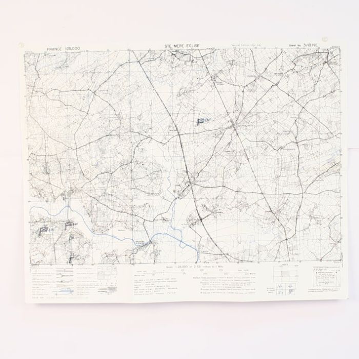
St Mere Eglise Reprint of a WW2 Combat Map used in Normandy by US 101st Airborne
WW2 military map of St Mere Eglise in Normandy.
This is a reprint of an actual US Army issue war time map which was used during battle of Normandy.
If you are going to Normandy you can follow the actual roads where the battle was fought and see the difference 70 years have done to the area.
These look great in a map case and adds to your WW2 impression of a D-Day soldier.
| Weight (g) | 100.00 |
|---|---|
| Restricted Product? | No |
| Affiliation | American |
| Service | Army |


